

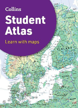
Collins School Atlas
-
Author:COLLINS MAPS
-
ISBN:9780008652852
-
Publication Date:December 2024
-
Pages:192
-
Binding:Paperback
-
Publisher:Harper Collins
-
Country of Publication:United Kingdom
-
The perfect GCSE Atlas to get ready to go back to school.
Fully revised and updated for 2024, this curriculum-supportive world atlas is the perfect tool for students aged 14-16 years (Key Stage 4, GCSE 9-1).
Featuring up-to-date reference and thematic mapping, country-by-country statistics, and a fully comprehensive index.
• Colour coded for ease of use
• Includes thematic maps and accompanying graphs and tables
• Covers tourism, telecommunications, environmental and socio-economic topics
• Lists relevant web addresses on each thematic page so students can explore topics more deeply
• High quality satellite imagery supports data on the maps and is used to illustrate key environmental issues
• Up-to-date demographic and socio-economic statistics can be used to support geographical, tourist, mathematical, economic or IT projects
Now with a FREE online geographical dictionary!