-
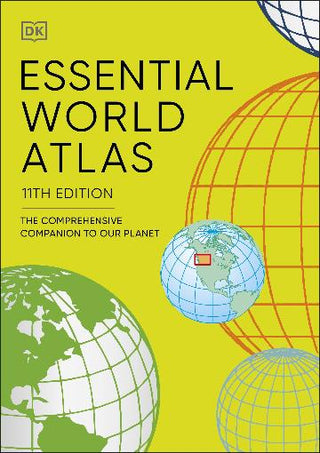
Discover the world with this beautifully designed atlas, packed with maps, flags and country profiles all wrapped up in a handy, compact package.
The first section contains a series of 12 global thematic maps on subjects as diverse as Ocean currents and languages give a general introduction to the World today. These are followed by the main atlas which includes over 60 full colour regional maps featuring political and state borders; main population and administrative centres; main lines of communication, ports and airports.
In addition to these maps this clear, informative and affordable atlas also includes a fully cross-referenced index-Gazetteer featuring 20,000 places, plus data profiles of each country including flags and key statistical indicators, making it the perfect reference tool to distil the mass of information in today-s world into the essential facts needed to help understand our ever-changing planet.


